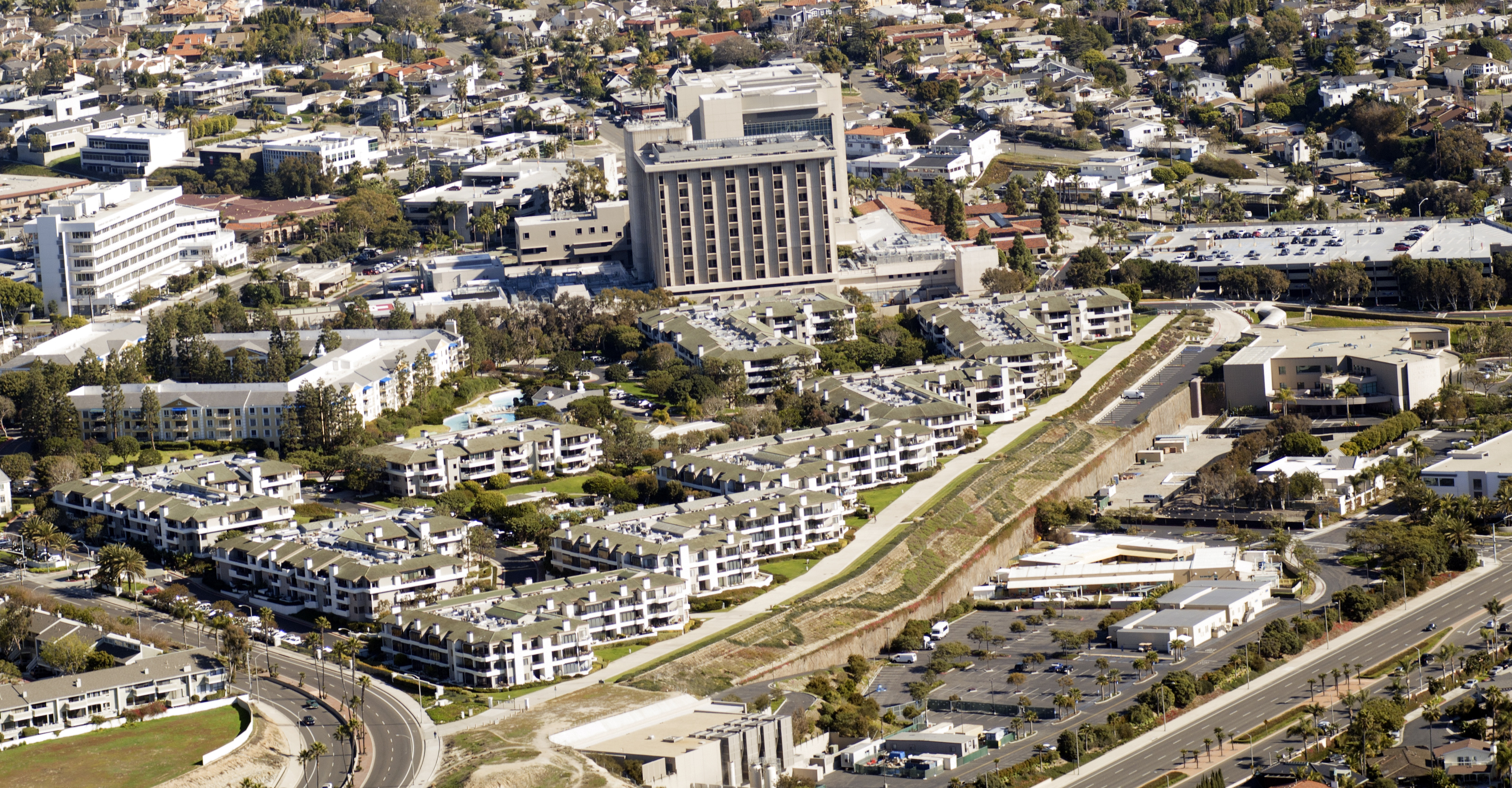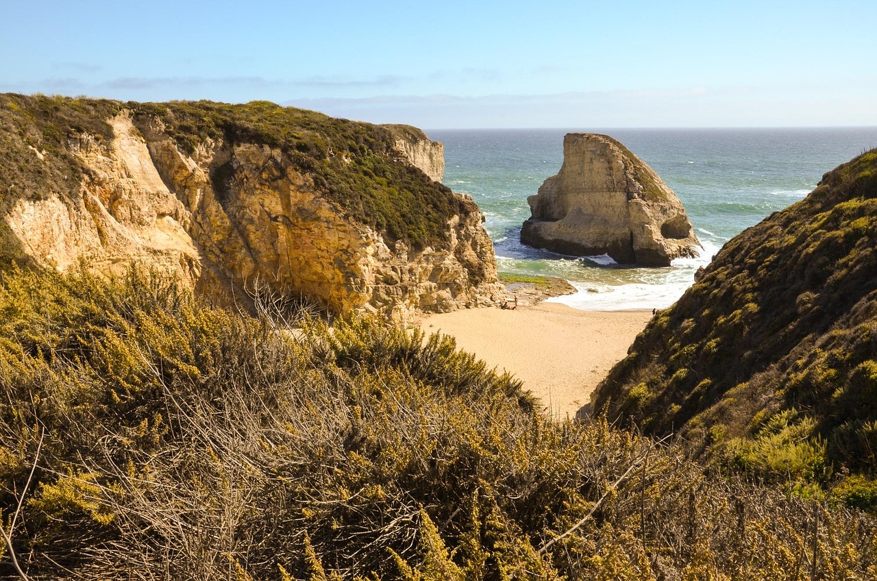
Emergency repairs to an eroding bluff near Crystal Cove State Park are restricting traffic on Pacific Coast Highway between Reef Point Drive and Irvine Cove Drive.
The California Department of Transportation (Caltrans) secured $4 million in emergency funding to stabilize the slope between Reef Point Drive and Irvine Cove Drive, the Daily Pilot reported Wednesday, Oct. 21. A drone survey estimated the crack at up to 360 feet long and up to 2 feet wide along an ocean-facing bluff near the Moro Beach section of the state park.
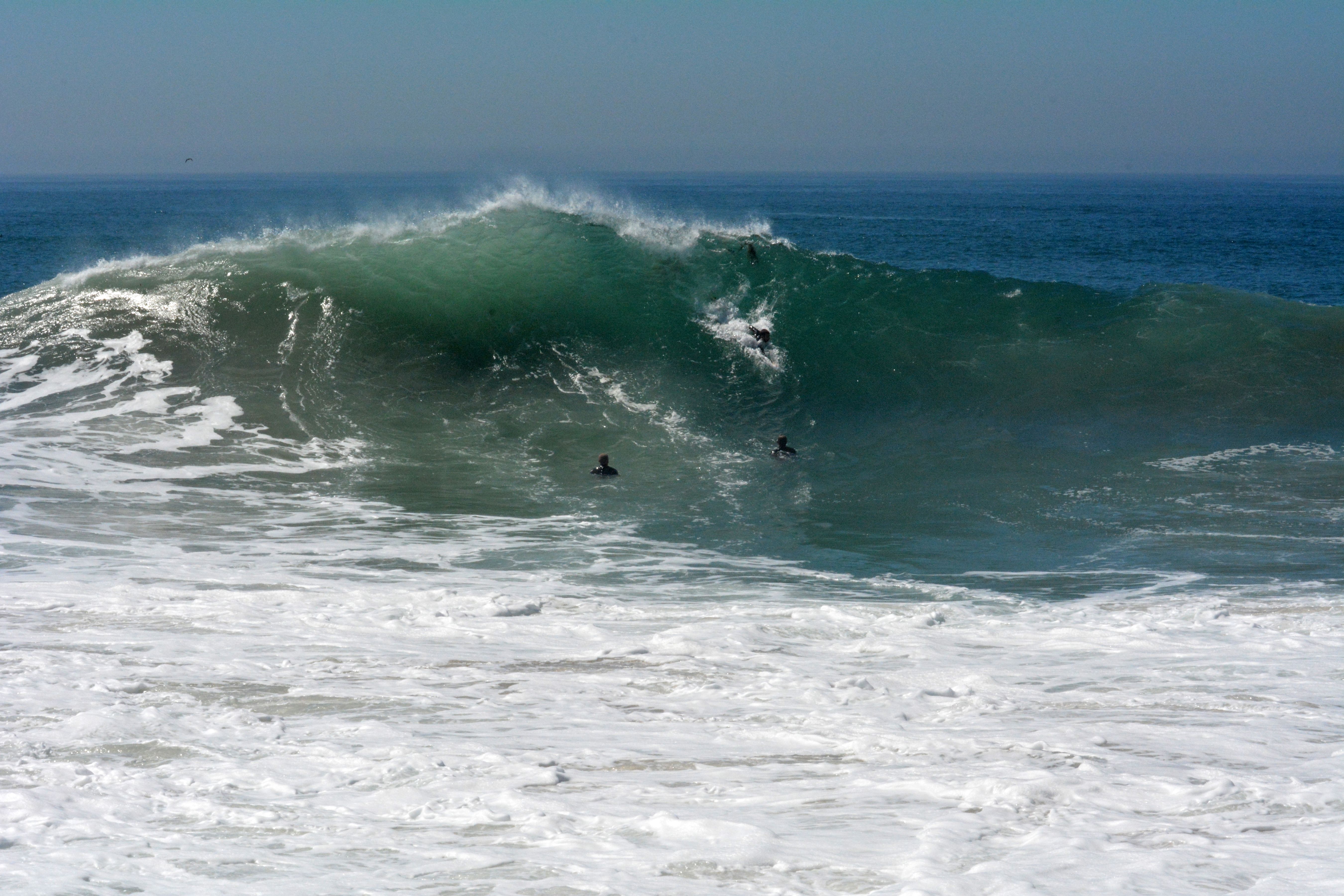
Workers discovered the fissure on Oct. 10, according to Caltrans. The agency initially closed the southbound right lane as a precaution. The crack was spotted after weeks of heavy surf, high tides and swells driven by the remnants of Tropical Storm Rachel battered the coastline, Patch reported.
Caltrans escalated the closure on Tuesday, Oct. 20, shutting all southbound lanes and shifting traffic to one lane in each direction in the northbound lanes. The speed limit dropped to 25 mph. The restriction will remain "for the foreseeable future," Caltrans told Patch.
Lan Zhou, Caltrans District 12 director, said in a statement on Oct. 16 that the agency is "moving urgently to stabilize this slope … while preparing for longer-term repairs."
Three-stage plan
Laguna Beach City Manager Dave Kiff outlined a three-stage repair approach on social media. The first step covered the crack with plastic sheeting to block rainwater. The second calls for installing large boulders or riprap at the base, along with 4-foot-tall temporary barriers to dissipate wave energy. The third stage involves redesigning the slope for long-term stability.
No timeline exists for that final phase. Officials said the timeframe depends on the approach selected, according to the Daily Pilot.
On Oct. 19, Caltrans filed an emergency Notice of Exemption for what it called the Crystal Cove Coastal Access Preservation Project, according to a press release from Orange County Supervisor Katrina Foley's office. The emergency work follows Gov. Gavin Newsom's Sept. 21 emergency proclamation.
Evacuation route concerns
The affected stretch of PCH serves as a northbound evacuation route for Laguna Beach residents. Some families also use it to commute to El Morro Elementary, the Daily Pilot reported.
Kiff said police, fire, public works and school district leaders met to plan for how the lane restrictions could affect emergency response. He encouraged residents to sign up for Nixle alerts and know their evacuation routes.
Laguna Beach spokesperson Lauren Ezzell said in a statement that city staff are in close contact with Caltrans and California State Parks and will keep the community informed about alternate routes.
Foley pushes long-term fix
Foley, whose District 5 includes Newport Beach, said in an Oct. 20 statement that she appreciates Caltrans' quick response but wants more. "Emergency repairs alone cannot protect our coastline," Foley said. "We need more sand replenishment and long-term solutions to safeguard our beaches, critical infrastructure, and coastal communities before the next major storm."
Caltrans is coordinating the work with California State Parks, the California Coastal Commission, Southern California Gas Co. and Orange County.
Residents can monitor real-time PCH closures on the Caltrans QuickMap website.